Saugus River Watershed Regional Adaptation Plan

Saugus River Watershed Regional Shoreline Prioritization and Adaptation
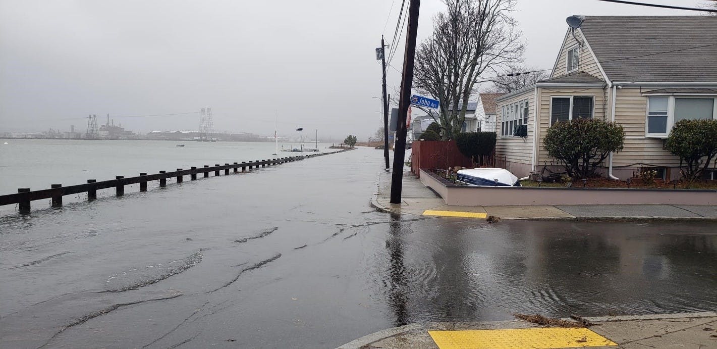
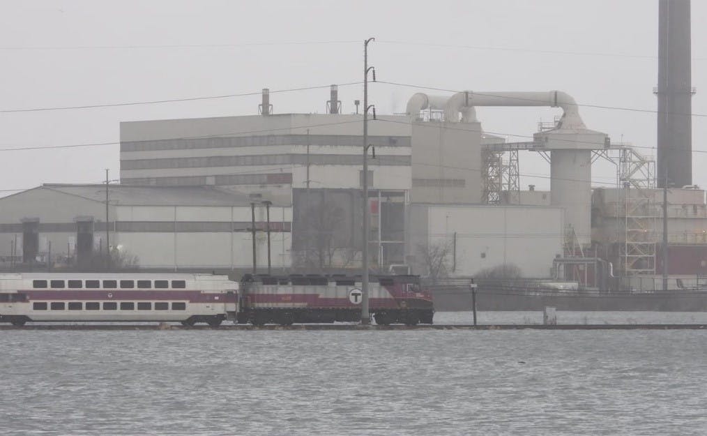
The impacts of coastal storms, sea level rise, and other climate hazards are not beholden to City or Town borders. While the communities of Lynn, Revere, Saugus, Everett, and Malden are unique in their neighborhoods, cultures, and identities, they share the coastal hazards associated with the Saugus River Watershed. The region is subjected to high tide and sunny day flooding under current conditions and, according to the Massachusetts Coast Flood Risk Model, coastal flooding frequency and severity will significantly increase throughout the region with sea level rise and increasing storm intensity due to climate change.
A regional problem requires regional partnerships and solutions. This is why these five communities along with state agencies MassDOT, the Department of Conservation and Recreation, and the MBTA have come together to conduct a vulnerability study that will give the region a more holistic understanding of current and future coastal risk within the Saugus River Watershed. Saugus Pines River Regional Advocacy for Resilience (SPRARR) was established in 2021 with a common vision to collaborate for a more resilient region. With funding assistance from the Municipal Vulnerability Preparedness MVP Climate Action Grant, the SPRARR partnership worked with Woods Hole Group to develop the Coastal Vulnerability and Regional Adaptation Plan for the Saugus River Watershed.
Over the coming year SPRARR will build upon the work developed in the Adaptation Plan to develop the Saugus River Watershed (SRW) Regional Shoreline Prioritization and Adaptation Project. This project will seek to address key vulnerabilities and climate risks identified in the Regional Adaptation Plan and affecting the region. The project is a direct response to the most urgent risks in our region, which will impact our local communities, infrastructure, natural environment, governance, and economy. This project aims to advance resiliency projects through technical analyses, and public and stakeholder coordination. This important work is once again being funded through the MVP program for fiscal year 2024.
For more information on the Saugus River Watershed Coastal Vulnerability and Regional Adaptation Plan please see the document archive on this page, or follow the link to an in-depth review of the process and plan: Saugus River Watershed Coastal Vulnerability and Adaptation Plan.
Documents
-
 Shoreline Prioritization & Adaptation - Presentation (5.16.24) (11.1 MB) (pdf)
-
Priorización y Adaptación de la Línea Costera (5.16.24) (6.18 MB) (pdf)
-
 Regional Adaptation Plan Document Archive
-
Reunión pública #3_Español (3.91 MB) (pdf)
-
الاجتماع العام # 3 - عربي (4.01 MB) (pdf)
-
Reunión Comunitaria #2: Español (14.2 MB) (pptx)
-
لقاء المجتمع # 2 - العربية (14.4 MB) (pptx)
-
Reunión pública #1: Diapositivas de presentación (3.73 MB) (pdf)
-
社區會議 #2 - 中文 (14.5 MB) (pptx)
-
公开会议 #3 - 阿拉伯语 (4.07 MB) (pdf)
-
Community Meeting #2: English (14.2 MB) (pptx)
-
Community meeting #3_English (4 MB) (pdf)
-
Public Meeting #1: Presentation Slides (3.73 MB) (pdf)
-
-
Saugus River Watershed Coastal Vulnerability Assessment and Regional Adaptation Plan (17.2 MB) (pdf)
-
Resilient Town Line Brook Presentation (1.29 MB) (pdf)